Geospatial data and location intelligence services for smart business solutions
Trusted by Our Customers
Why GeoJunxion?
Building on decades of experience in mapping, GeoJunxion is focusing on high value, dynamic content and building environmentally conscious applications, which enrich safety in everyday life. With location-aware content at our core, we know where our strengths lie and have the know-how and technology needed to offer unrivalled, intelligent products and services.
By combining the latest technologies with our remarkable sourcing skills and production techniques refined over many years, we can deliver premium quality content which is ready for tomorrow’s 5G and IoT world at very competitive prices.
Our portfolio of geo-localized data and services stands as a testament to our commitment to providing comprehensive, cutting-edge solutions across diverse industries. As the provided text highlights, we’ve cultivated a robust reputation for delivering effective and easily integrated technology, coupled with rapid turnaround times and exceptional customer service. This foundation allows us to serve a prestigious clientele spanning global tech giants, local governments, logistics providers, and urban planners.
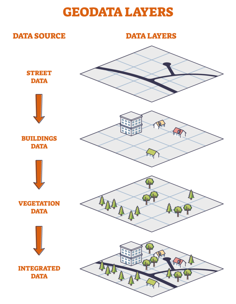
But our offerings extend far beyond simply providing data for mobile maps. We understand that each sector has unique needs, and our portfolio reflects this understanding. We offer a spectrum of solutions, including:
Improve your solutions with GeoJunxion’s comprehensive suite of geospatial data and services.
Our enterprise-grade products power leading navigation apps, GIS platforms, and logistics solutions worldwide.
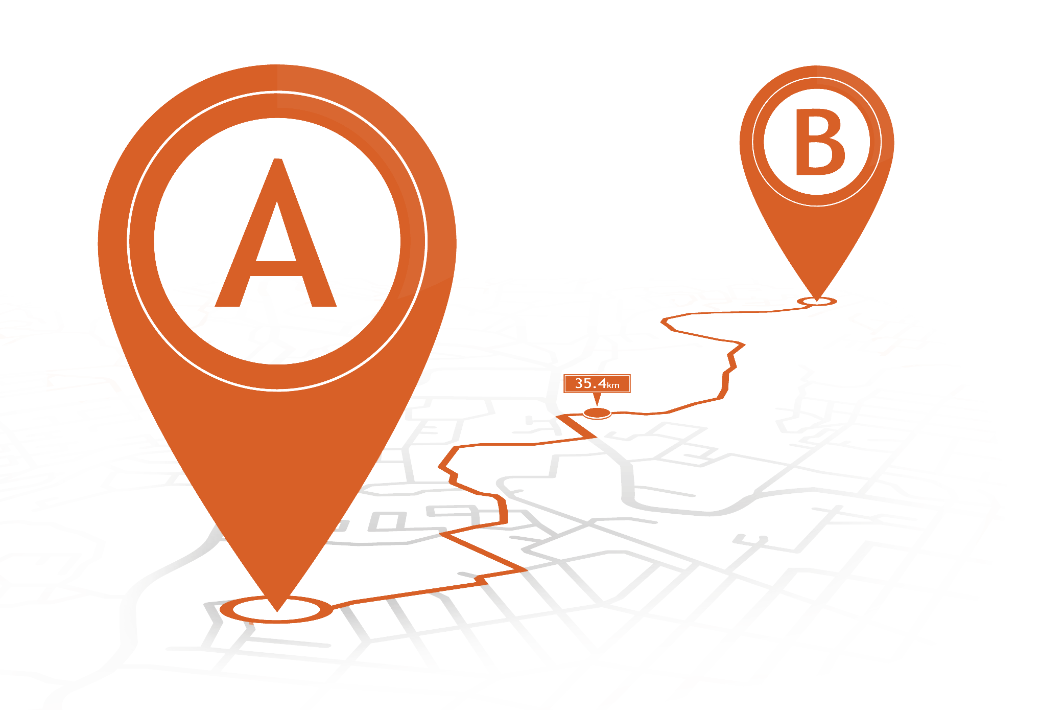
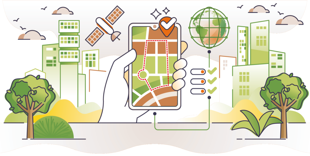
From precise address data to advanced mapping APIs, we deliver the essential building blocks for smart routing, accurate ETAs, GIS studies and sustainable transport solutions. Our standardized formats and databases help businesses create innovative applications that drive real-world results.
Enhance your mobility solutions with GeoJunxion’s accurate and always up-to-date geofences datasets.
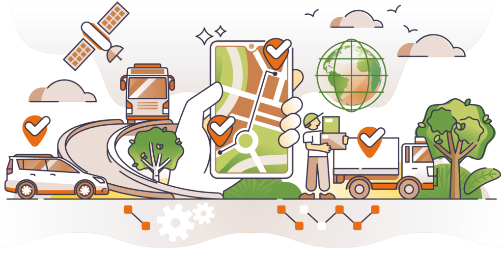
Our comprehensive geofence databases power smart navigation, fleet management, and logistics applications worldwide. From low-emission zones to school safety areas, our rich geospatial databases help businesses deliver safer, more sustainable transport solutions while ensuring regulatory compliance.
GeoJunxion’s advanced geofencing databases combine accurate boundary data with detailed metadata, enabling intelligent routing decisions and real-time alerts for diverse urban mobility challenges.
Transform your digital mapping solutions with GeoJunxion’s location intelligence services.
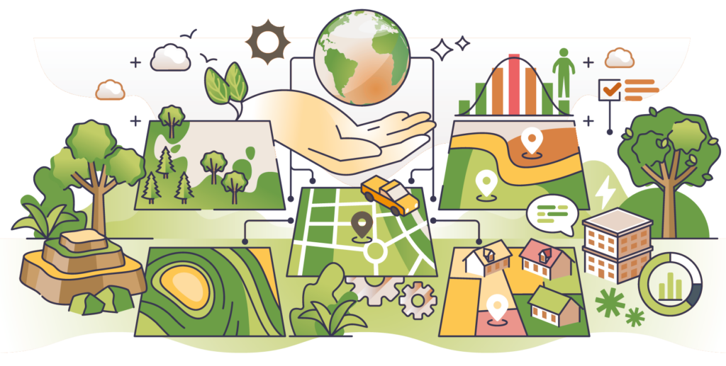
We are specialized in collecting, compiling, and maintaining location data that powers navigation apps, fleet management systems, and smart business solutions. Our expertise in data research, normalization, and maintenance ensures your applications deliver accurate, reliable location-based experiences.
From enhancing route planning to improving arrival time predictions, our solutions help industry leaders build stronger location-aware applications. Partner with GeoJunxion to access quality-assured geographical data that drives innovation in transport, logistics, and smart city solutions.
Enable unforgettable experiences within complex venues and locations with our specialized interactive digital mapping solutions.
From vibrant event venues to sprawling holiday parks, we create detailed interactive maps that go beyond standard navigation. Our custom solutions help venue managers and event organizers enhance visitor experiences, streamline operations, and create lasting impressions.
Where conventional maps end, GeoJunxion’s expertise begins. Whether you need detailed harbor navigation, high-definition venue mapping, or last-mile precision, we turn complex locations into clear, actionable maps.