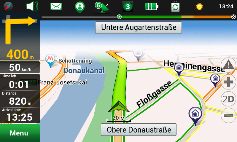
Rotterdam, 9 April 2013 – NAVITEL® -leader of Russian and Eastern Europe navigation market and AND, the only independent company in the global mapping market-, are pleased to announce the retail sales of Western Europe navigation maps. The Navigation Maps cover at least 98% of the road network, including millions of POIs, address information and routing across borders between all countries.
NAVITEL® and AND announced their partnership in April 2012 to combine their knowledge, experience and know-how in developing navigation products. Thanks to this cooperation NAVITEL® offers the market navigation products with extremely detailed, precise and actual Western European maps based on the AND geodata. AND geodata allow for worldwide address search, geocoding, mapping and navigation.
The maps cover more than 6 million kilometers of road, almost 4 million Points of Interest and about 372,500 cities and municipalities. The following countries are included into the package “Western Europe”: Austria, Andorra, Belgium, Vatican, Denmark, Finland, France, Germany, Gibraltar, Italy, Liechtenstein, Luxembourg, Malta, Monaco, Netherlands, Norway, Portugal, San Marino, Spain, Switzerland and Sweden.
The NAVITEL® Navigation software is immediately available in Google Play (Android) and will be available in iTunes (iOS) soon. Other platforms will follow later.
NAVITEL® is a leading navigation solution provider for automotive navigation industries, specialized in development and production of satellite navigation software and cartography.
AND provides worldwide digital maps and location-based services. The company focuses on adding location intelligence to improve business processes through location technologies and big geo data.
This is a translation of the Dutch press release. In the event of any discrepancy, the Dutch version will prevail.
![]()