PREMIUM LOCATION AWARE CONTENT
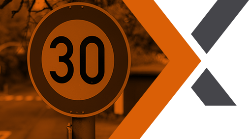
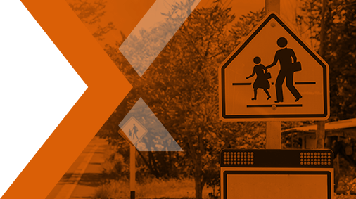
High Alert Zones
Fostering safety and sustainability with a suite of products designed to help make roads and people safer and reduce environmental impact by enabling advanced routing. Current Alerts highlight congestion zones with restricted or fee only access; areas surrounding schools and other zones frequented by vulnerable pedestrians; COVID-19 statistics and risk assessment by locality; and hazardous materials routes. All High Alert Zones are map agnostic.
Innovation Lab
Continually developing new solutions, expanding existing product suites and regularly adding APIs to our portfolio. Current projects at an advanced stage include SmartMaps based on our MapFusion® Technology; HD Mapping; and a neighbourhood evaluator to provide insights into amenities, housing prices, crime, sustainability, education and many other key lifestyle issues.
For a sneak preview of our vision of the future for our High Alert Zones. Click right and view our latest video.