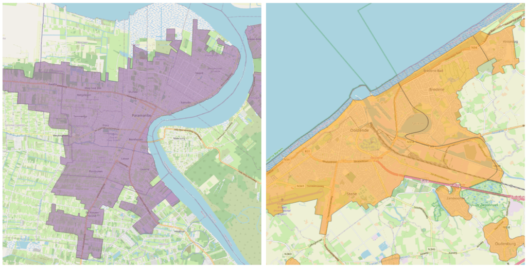
GeoJunxion offers Built-Up Areas for your website or solutions to add information or visualization to your website or solutions. A Built-up Area (BUA) is defined as a geographic area with high density of buildings and human activities. Such areas are identified via geo-referenced boundaries. A built-up area is usually characterized by a higher density of human footprint, and it may differ from the city boundary or other official administrative boundaries.
USE CASES
Geo-referenced BUA polygons can be applied to various use cases (just a few examples):
To pre-determine speed limits or other driving restrictions
To plan and monitor the fleets’ distribution activities and strategically locate their logistics hubs
To analyse and determine the value of properties
For pre and post analysis of users’ driving activities and behaviour
To plan and manage resources to serve customers
To monitor and plan activities on their territories distinguishing BUAs from other official administrative boundaries
To plan and execute marketing activities where there is higher return of investment
To enhanced map viewing and layering, weather applications, generic location positioning and many more.
COVERAGE
Map: World