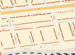
Geocoding for your website or solution is a powerful geo-location tool for transforming a postal address into numerical coordinates, and even validate or correct the address entered. This process is called ‘forward geocoding’, or simply ‘geocoding’. GeoJunxion also offers ‘reverse geocoding’, which converts the numerical coordinates of a specific location into an address, usually the name of a place or a postal address.
TYPICAL USE CASES
Geocoding and reverse geocoding are part of many use cases across various industry verticals Geocoding can be part of: turn-by-turn navigation, routing, geofencing, local search, GIS analysis, geotagging and track & trace. In most of the cases, the geocoder will be used to get numerical coordinates referring to a specific address, in order to perform geospatial analysis.
GEOCODER API
The Geocoder API has two options, the regular address to GPS coordinates function and the reverse look-up whereby GPS coordinates are translated to an address
KEY FEATURES
Forward Geocoding
Reverse Geocoding
Free form and Structured address search
House number ranges, interpolated, extrapolated and true rooftops.
COVERAGE
Europe + North America