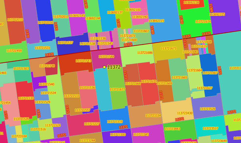
GeoJunxion offers Zip code boundaries for your website or solutions to add information or visualization to your website or solutions. The basic 5-digit format was introduced in 1963 and later extended to add an additional 4 digits after a dash to form a ZIP+4 code. The zip plus four code boundaries represent a file that defines each unique basic 5-digit or more detailed ZIP+4 locations in the United States. The data can be accessed as database (i.e in GeoJSON, Shape or zip code boundaries shapefile) or accessed via API calls. The data is updated regularly and offers unique boundaries.
KEY FEATURES
- Coverage of 35 million polygons across 50 states, DC, and outlying territories
- Boundary or polygon of the area
- Zip code for each area
TYPICAL USE CASES
With its very refined segmentation the ZIP+4 data represents the ideal product for highly precise and at the same time anonymous polygon geomarketing, route planning, parcel service, additional administrative level, searchability and geocoding. This boundaries provide input to many use cases, moreover the ZIP Code Boundaries can easily be used with common existing Geographic Information Systems (GIS) such as ESRI’s ArcGIS, MapInfo or QGIS.
ZIP+4 PLUS
The Zip+4 dataset is an enriched database which is augmented with additional information about geographic subdivisions like related metropolitan areas, carrier routes, census block groups, and related statistical areas.
ZIP+4 CODE FEATURES
Core based Statistical Areas (CBSA & MSA)
ZIP+4 polygons generated per county, with both name and FIPS code, Minor Civil Divisions
Block groups and settlement names
COVERAGE
Map: USA