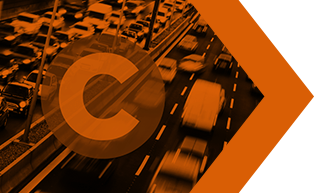
HIGH ALERT ZONES
High Alert Zones Suite
A suite of products designed to help make roads and people safer and reduce environmental impact which includes the following products listed below:
Eco Alert Zones
Aggregated information in a geographical database on driving restrictions to combat traffic congestion and improve air quality with Low Emission Zones, Congestion Charging & Traffic Restrictions that affects diesel cars, commercial vehicles, taxis, buses, mopeds, motorcycles, lorries and more.
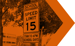
Safety Alert Zones
This API contains smart polygons around areas such as schools to protect small children and other vulnerable pedestrians from the risk of traffic accidents.
We have created and split these polygons into multiple levels of alertness (100 – 600 meters) in order to enable staggered warnings

Safety Alert Zones - Schools & Kindergartens Germany
In today’s competitive market, promoting your business to childcare institutions can be extremely challenging. You might be wondering which products and services can be advertised around
these, or alternatively you might want to directly address a specific target group working at these facilities.
As part of our Safety Alert Zones family, GeoJunxion is pleased to offer a dataset that contains the aggregated information for kindergartens and schools in Germany.
Safety Alert Zones - School Safety Zones
NEW! – The School Safety Zones dataset provides smart polygons and information about areas around schools and kindergartens. It includes a unique combination of dynamic, statistical and geo-located content to help vehicle navigation, route optimization, location-based analysis or to be utilized as a tool with the intent to analyze and design smart areas around Schools.

Health Alert Zones
Aggregated global information on COVID-19 pandemic statistics with unique and very localised, risk evaluation across several focus countries: Belgium, France, Germany, Italy, the Netherlands, Switzerland, the UK and the USA.
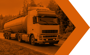
Hazardous Roads USA
For generating point-to-point and street level routes, mileage and driving directions for hauling hazardous materials and dangerous goods in the USA. Data is based on the National Hazardous Routes Registry (NHMRR) and includes roads both designated for, and restricted from, the transport of these loads.
Uniquely, the GeoJunxion data has the NHMRR routes linked to segments which are complete with all the hazardous materials attributes and is updated annually. It is delivered in Shape formats (.shp/.shx/.dbf/.prj).