SAFETY ALERT ZONES
Focusing on Road Safety
Helping to create a safer environment Safety Alert Zones can be leveraged to inform drivers approaching areas frequented by vulnerable pedestrians – for example, the vicinity of a school where children are likely to be crossing roads, walking along footpaths or playing nearby. The Safety Alert Zones smart polygons have been split into three levels to support a staggered warning: 100, 300 and 600 metre boundaries around the location.
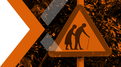
Routes to school bus stops and public transport hubs are included along with school opening hours. Additional information featuring playgrounds, hospitals and homes for elderly is also in the pipeline.
Perhaps the most obvious use case for Safety Alert Zones is integration into navigation systems. However, it could also help city developers detect where infrastructure is in need of improvement; contribute to Smart City planning; support geomarketing specialists; and prove valuable for logistics, supply chain, delivery and IoT solutions.
School Safety Zones and Schools & Kindergartens Germany are part the Safety Alert Zones product range.
Delivery options include an API in GeoJSON format; Shape File; or a GeoJunxion MapTiler Layer which is hosted and managed by our team.
Key Features
· Consistent, complete information from one source
· Highly accurate geometry
· Three warning levels – 100 to 600 metres around the zones
· Defined risk zones
· Location opening hours if available
· Map agnostic – compatible with GeoJunxion, OSM or any other maps
· Global coverage
· Multiple delivery options
· Simple pricing models
In addition to Safety Alert Zones, the High Alert Zones expanding suite of map agnostic content designed to foster safety and sustainability currently offers: Eco Alert Zones, Health Alert Zones and Hazard Roads USA.