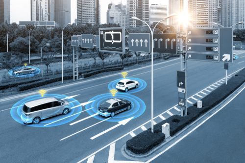
Geofences are a powerful tool for cities to manage mobility
GeoJunxion can create any type of geofence for any use case. By using a geofence, automotive, transport and logistics and cities can create virtual boundaries that help them monitor and control the flow of traffic in urban areas. Urban Mobility Geofences are used to define specific locations where vehicle access is restricted or allowed; School Zones can be used to regulate speed limits near schools; Parking Geofences enable automated enforcement of parking regulations; Low-emission zones geofence allow authorities to restrict access into certain areas based on emission levels. Time applicability makes such geolocation fences even more effective, as it allows cities and municipalities to adjust the restrictions depending on time of day or week – this helps reduce congestion during peak hours while allowing people more freedom at other times when there’s less traffic.
Geofences are a powerful tool to manage mobility. GeoJunxion can create any type of geofence for any use case. Interested to understand how GeoJunxion can help you? Contact us and send an email to sales@geojunxion.com!